Outwoods

Outwoods is a surburb and parish located on the north-west of Burton-upon-Trent, a market town in East Staffordshire. The area has many watercourses and culverted watercourses that connect into the River Trent, which runs along the east of Burton-upon-Trent. 
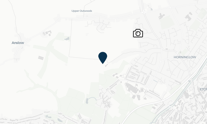
Image of mapping highlighting the location of Outwoods

FAIR, through their partners the National Flood Forum, have been engaging with residents in Outwoods, Burton, to address their flood risks. This includes the community feedback on potential schemes to reduce risks and the creation of the Kitling Greaves Lane Flood Action Group (FlAG), which has played a vital role in reporting blockages in Kitling Greaves Brook that can contributed to flooding during times of heavy rainfall. 
This community page displays images from the trash screen camera and real-time monitoring installed by FAIR on the watercourse, as well as information on the further work FAIR is undertaking to make the area more resilient.

Images for Kitling Greaves Lane

Timestamp: Wednesday, October 14, 2026 2:18:00 AM

Webcam image for Kitling Greaves Lane

Community news

What is flooding?
What is flooding?

Flooding is when land that is usually dry is covered in water. This can be for a short period of time, such as a few hours, or over longe...

Find out more
What is FAIR?
What is FAIR?

A FAIR (Flood: Aware, Informed, Resilient) Approach to Community Flood Risk is working innovatively and collaboratively to reduce fl...

Find out more

Other communities

Swipe across to see other communities
Image of bluebells in a wood
Bilbrook
View community
Image of mapping with Blakenall Heath identified
Blakenall Heath
View community
Aerial photo of Shropshire Union canal
Brewood
View community
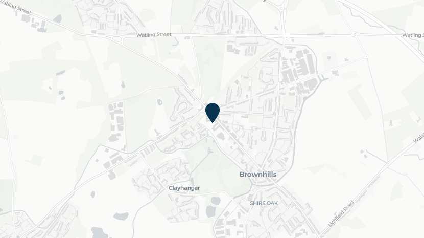
Screenshot of mapping with Brownhills shown
Brownhills
View community
Image of a church
Cannock
View community
Image of mapping with Capehill identified
Cape Hill
View community
Image of planting and Church Eaton sign
Church Eaton
View community
Image of mapping with Codsall identified
Codsall
View community
Image of mapping with Cranberry identified
Cranberry
View community
Image of mapping highlighting the location of Edingale
Edingale
View community
Image of mapping of Great Wryley
Great Wryley
View community
Image of mapping highlighting the location of Lower Gornall
Lower Gornall
View community
Image of mapping with Marchington identified
Marchington
View community
Image of mapping with Newborough identified
Newborough
View community
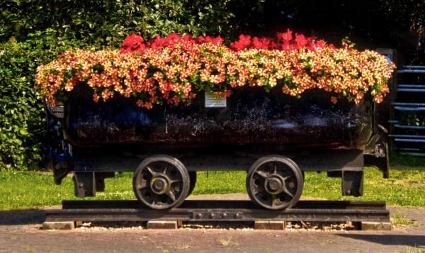
Planter in wheeled trolley
Norton Canes
View community
Image of mapping with Rolleston identified
Rolleston
View community
Image of mapping with Stafford identified
Stafford
View community
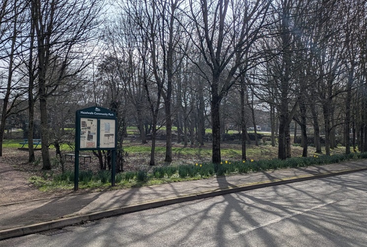
Image of a sign and park in Uttoxeter
Uttoxeter
View community
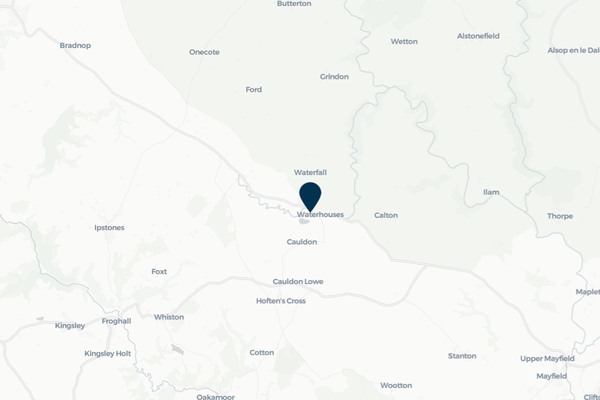
Image of mapping with Waterhouses identified
Waterhouses
View community
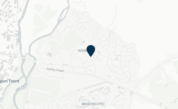
Image of mapping highlighting the location of Winshill
Winshill
View community
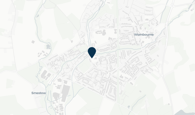
Image of mapping highlighting the location of Wombourne
Wombourne
View community