Highway flood regularly affects the village and surrounding roads, impacting residents in Edingale, Croxall and Harlaston and motorists using the A513. FAIR has been engaging with the community, Parish Council and the Highway Authority in Edingale to better understand flooding issues, and implement an innovative, pilot flood warning scheme using real-time monitoring and highway flood signs. These community pages display this real-time monitoring information, as well as information from the pilot flood forecasting system.
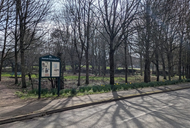
Community news
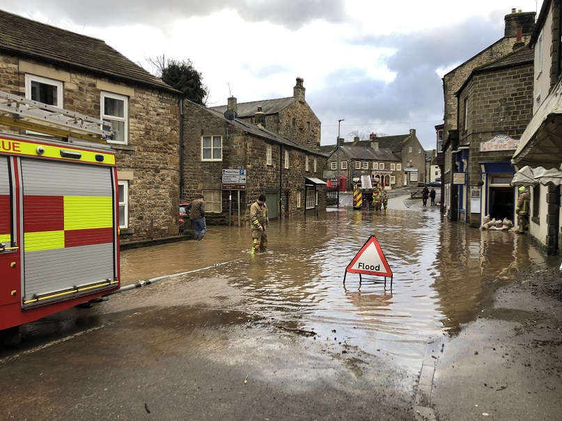
What is flooding?
Flooding is when land that is usually dry is covered in water. This can be for a short period of time, such as a few hours, or over longe...
Find out more
What is FAIR?
A FAIR (Flood: Aware, Informed, Resilient) Approach to Community Flood Risk is working innovatively and collaboratively to reduce fl...
Find out moreOther communities
Swipe across to see other communities