Blakenall Heath

Blakenall Heath is an urbanised area located in Bloxwich, Walsall. The area experiences surface water flooding after heavy rainfall that can affect properties. 
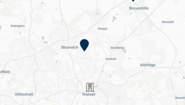
Image of mapping with Blakenall Heath identified

The community of Blakenall Heath experiences impacts from surface water, with notable events including May 2018. FAIR, through its partners the National Flood Forum, has engaged with local residents, Walsall Metropolitan Borough Council and Walsall Housing Group to increase flood awareness and advice for residents. FAIR and the National Flood Forum are continuing to work with Walsall Housing Group to explore property resilience measures, including SuDS Pods to slow down surface water in the catchment. These innovative and collaborative measures aim to strengthen community resilience and help support residents reduce flood risks. 

Community news
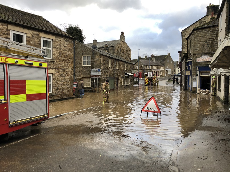
What is flooding?
What is flooding?

Flooding is when land that is usually dry is covered in water. This can be for a short period of time, such as a few hours, or over longe...

Find out more
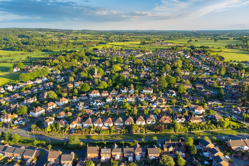
What is FAIR?
What is FAIR?

A FAIR (Flood: Aware, Informed, Resilient) Approach to Community Flood Risk is working innovatively and collaboratively to reduce fl...

Find out more

Other communities

Swipe across to see other communities
Image of bluebells in a wood
Bilbrook
View community
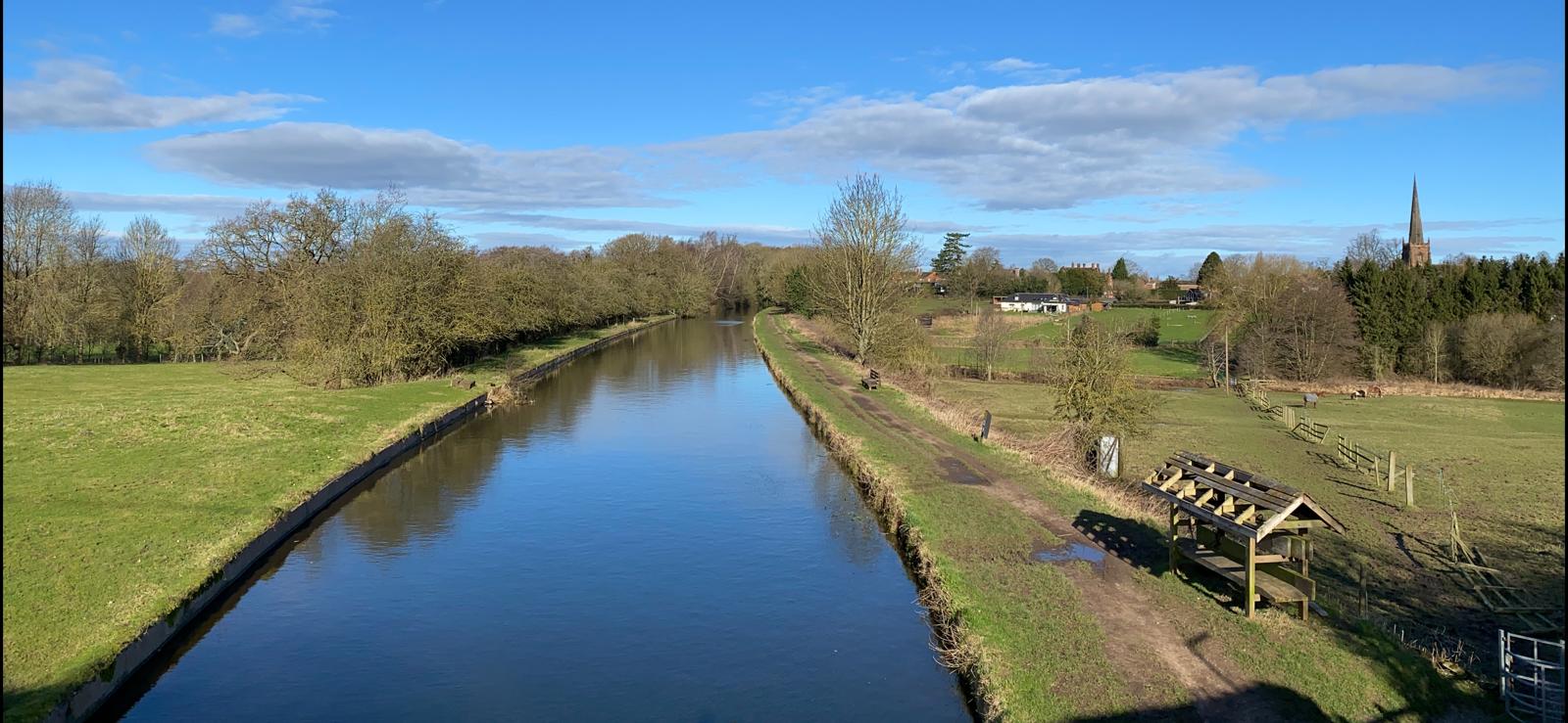
Aerial photo of Shropshire Union canal
Brewood
View community
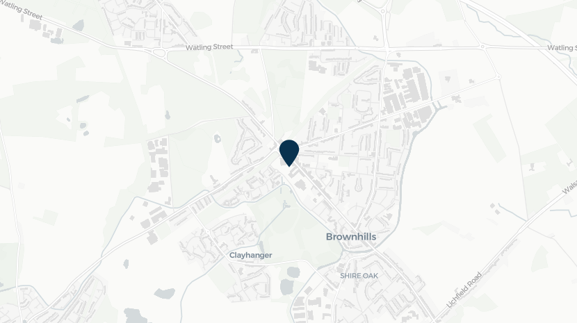
Screenshot of mapping with Brownhills shown
Brownhills
View community
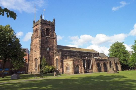
Image of a church
Cannock
View community
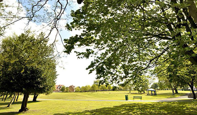
Image shows a view of park in the community of Cape Hill
Cape Hill
View community
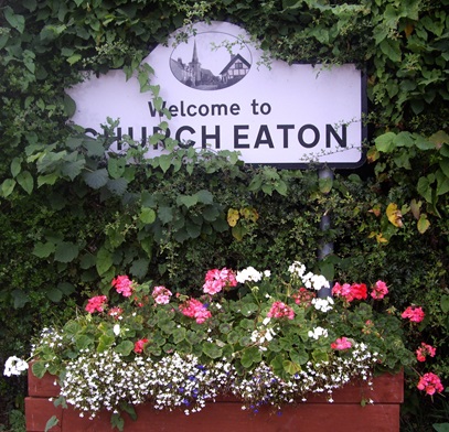
Image of planting and Church Eaton sign
Church Eaton
View community
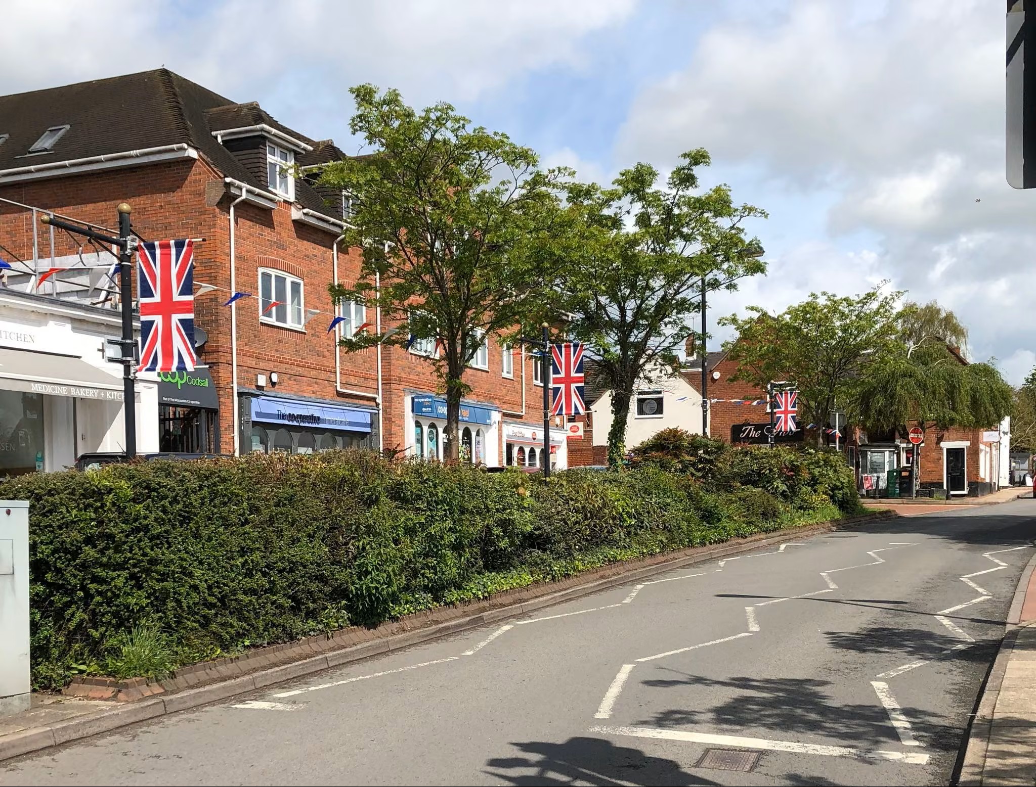
Image of a road with shops in Codsall
Codsall
View community
Image of mapping with Cranberry identified
Cranberry
View community
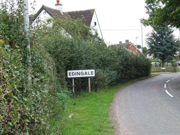
Image of road sign showing Edingale.
Edingale
View community
Image of mapping with Great Wryley identified
Great Wryley
View community
Image shows a view of Lower Gornal
Lower Gornall
View community
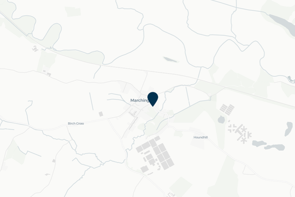
Image of mapping with Marchington identified
Marchington
View community
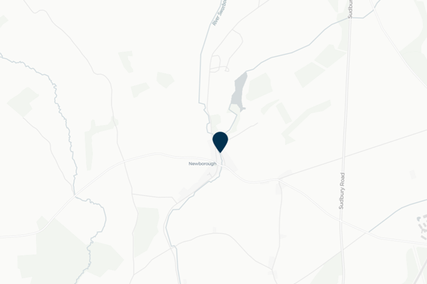
Image of mapping with Newborough identified
Newborough
View community
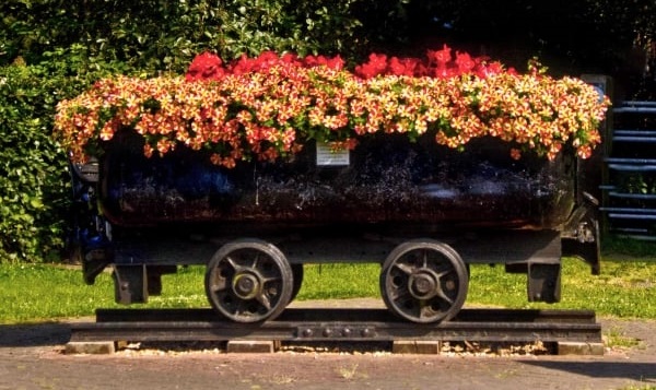
Planter in wheeled trolley
Norton Canes
View community
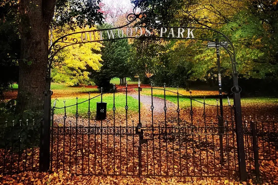
Image of a park in the community of Outwoods
Outwoods
View community
Image of nature in the community of Rolleston.
Rolleston
View community
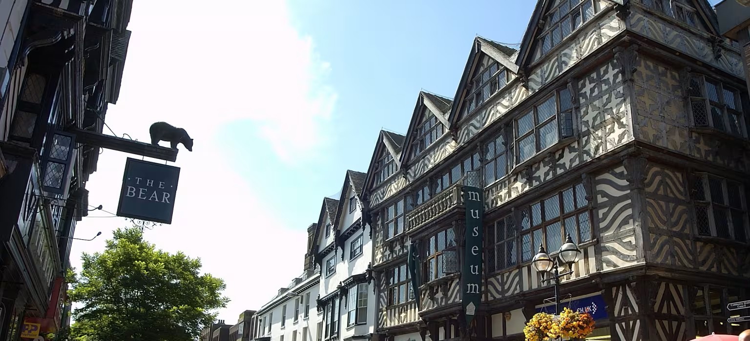
Image of buildings in the community of Stafford.
Stafford
View community
Image of a sign and park in Uttoxeter
Uttoxeter
View community
Image of houses on a hill in the community of Waterhouses.
Waterhouses
View community
Image of mapping highlighting the location of Winshill
Winshill
View community
Image of community welcome sign for Wombourne
Wombourne
View community