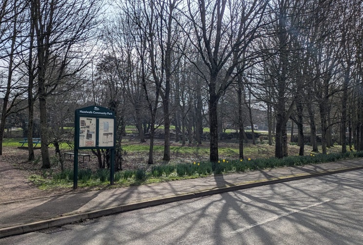
Norton Canes
Norton Canes is a village located within the Cannock Chase District of Staffordshire. The area experiences flood risk issues from surface water runoff and watercourses that flow around and through the village, including the Norton Brook.

FAIR has engaged with local residents and the community of Norton Canes to improve community resilience to flood risks, particularly high flows and runoff associated with the Norton Brook, and surface water flooding across the village. This community page displays the real-time monitoring and trash screen camera images installed by FAIR on the Norton Brook, information from a new weather station installed at Norton Canes Primary School and information from the pilot flood forecasting system.
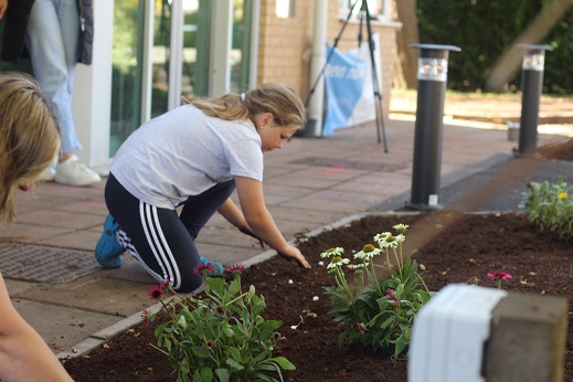
For more information on the co-designed community flood risk schemes undertaken by FAIR, including a rain garden at Norton Canes Community Library and slowing the flow at Norton Canes High School, please see the Community News section below.
No local flood forecast alerts currently in force
Images for Burntwood Road (Norton)
Timestamp: Tuesday, March 24, 2026 6:40:00AM

Click one of the readings below to view a chart.
Community news
Community scheme - Norton Canes
The FAIR Project is empowering communities across Staffordshire and the Black Country with the skills, knowledge, and resources to impro...
Find out more
What is FAIR?
A FAIR (Flood: Aware, Informed, Resilient) Approach to Community Flood Risk is working innovatively and collaboratively to reduce flood r...
Find out more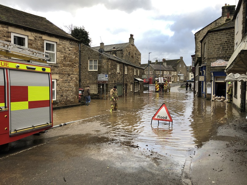
What is flooding?
Flooding is when land that is usually dry is covered in water. This can be for a short period of time, such as a few hours, or over longe...
Find out moreOther communities
Swipe across to see other locations