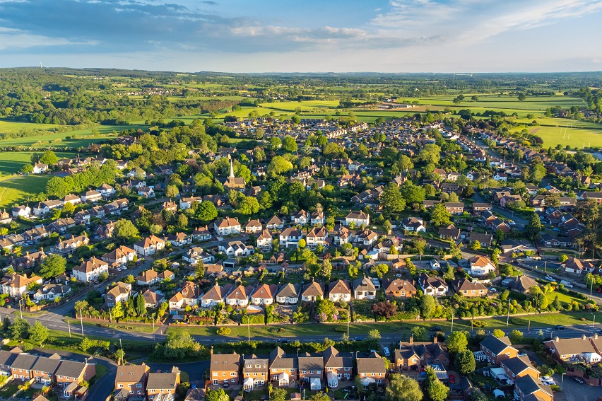
Bilbrook
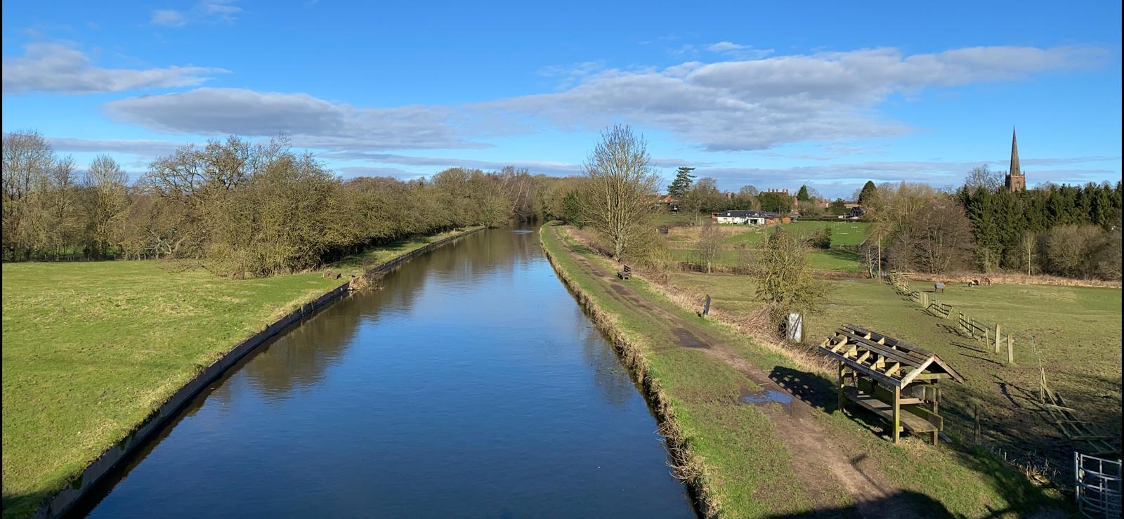
Bilbrook, is a village and civil parish located in South Staffordshire. Neighbouring Codsall, the historic village is surrounded by several watercourses including the River Penk to the south and the Moat Brook to the north-east.
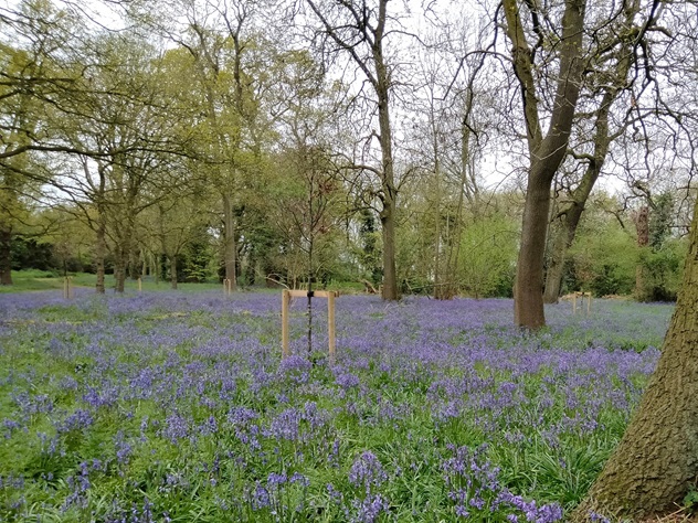
The village of Bilbrook gets its name from the ancient ‘Billers’, meaning watercress, which grows in its Moat Brook. The area therefore has a strong relationship with its surrounding watercourses as well as a history of repeated surface water flooding, most notably in 2020. FAIR has engaged with residents, through the National Flood Forum, to investigate surface water problems and work in partnership with other Risk Management Authorities to alleviate these. This community page displays monitoring from sensors installed by FAIR, as well as more information about how National Flood Forum have engaged with the community.
Community news
What is FAIR?
A FAIR (Flood: Aware, Informed, Resilient) Approach to Community Flood Risk is working innovatively and collaboratively to reduce flood r...
Find out more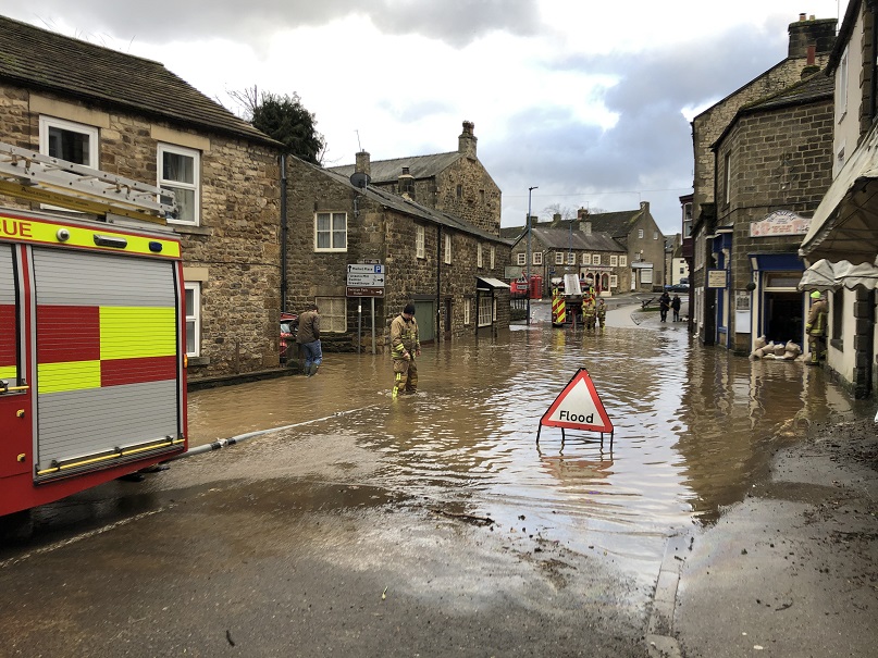
What is flooding?
Flooding is when land that is usually dry is covered in water. This can be for a short period of time, such as a few hours, or over longe...
Find out moreOther communities
Swipe across to see other locations