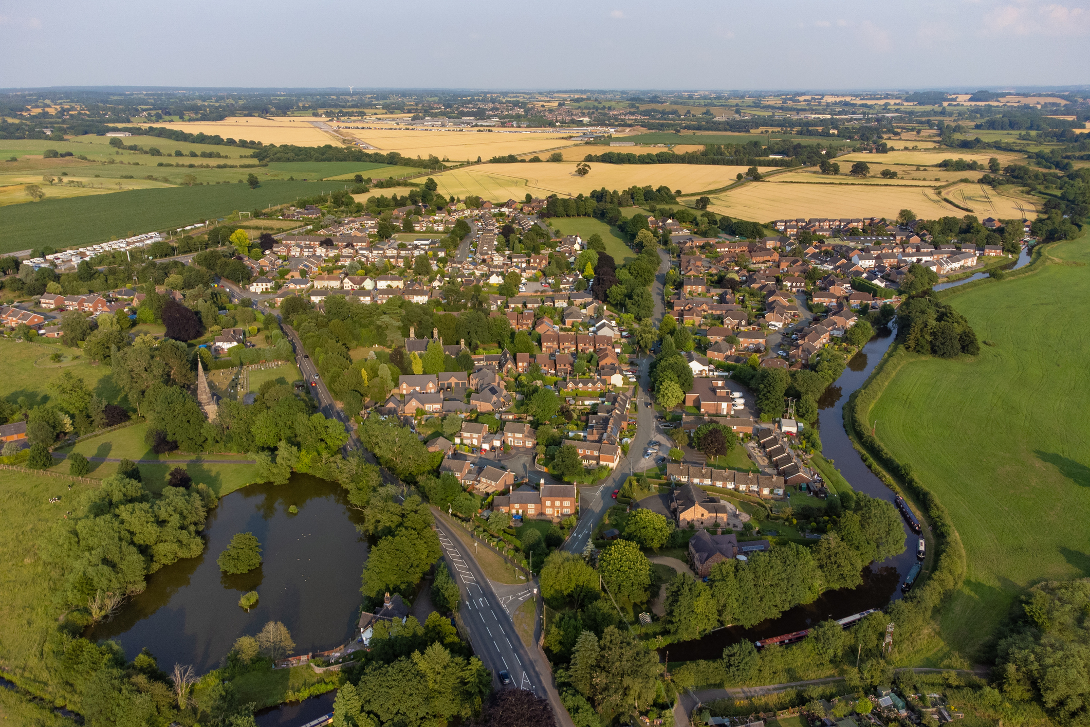
Across England, over 5.2 million homes and businesses are at risk from all types of flooding.
The Environment Agency provides information on levels of flood risk from rivers, the sea, surface water, groundwater and reservoirs. You can check the flood risk for these types of flooding in your area using the postcode search on the gov.uk website. This service looks at the flood risk of an area, not at specific properties. This information can also be viewed in a map format, showing different flood risks in your area.
Surface water and reservoir flood risk is included in the maps, showing extent, depth and velocity. However, these maps do not contain sufficient information to be used to determine flood risk to individual properties.
There is more information about how the surface water flood maps are created and how they should be used on the gov.uk website.
